
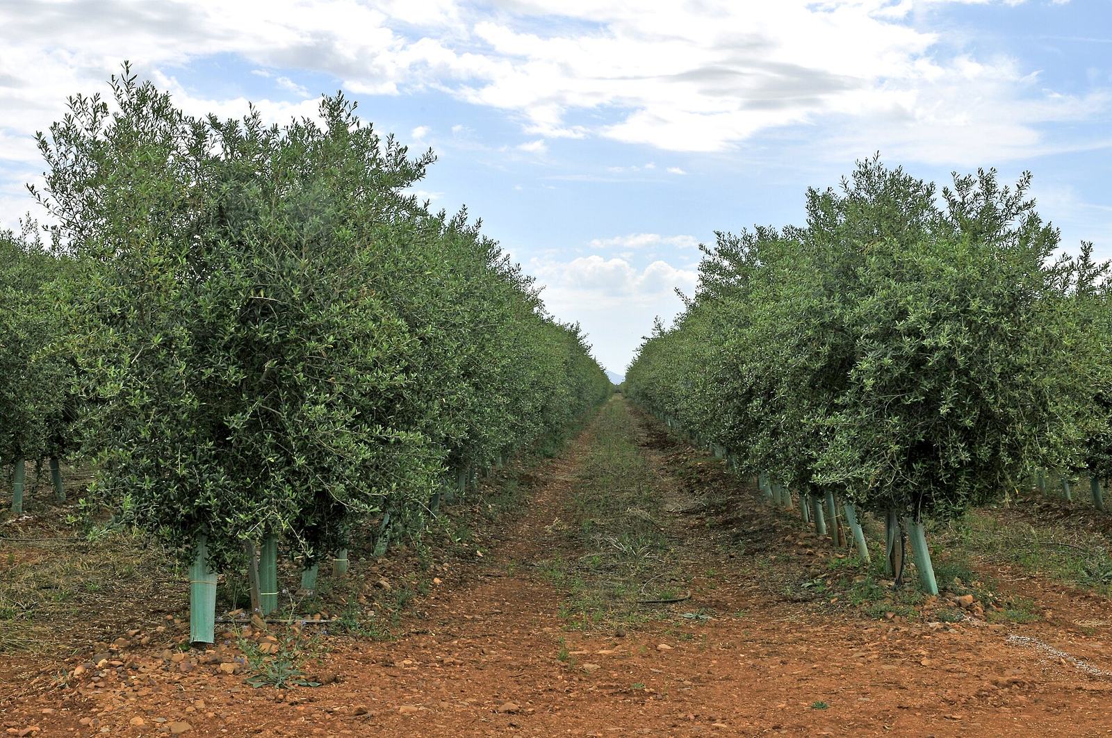
Ground truth for loans & schemes
Farm Survey
Verified, tamper-evident farm surveys for governments and lenders: know that the crop exists, the area is right, and the loan is doing what it was disbursed to do.
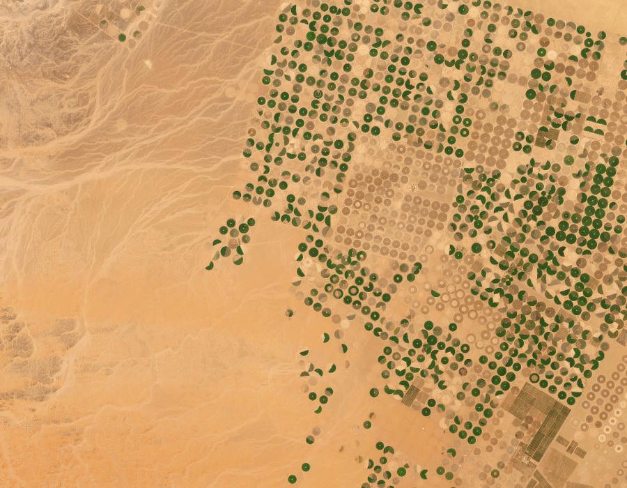
- Satellite and drone evidence of crop, area and stage per parcel
- Loan-linked monitoring: disbursement vs on-ground activity
- Geo-tagged, time-stamped field surveys with photos
- Change alerts when a monitored parcel deviates
- Portfolio dashboards for banks, insurers and schemes
- Immutable audit trail for every survey and revision
Built for
Agricultural banks and NBFCs
Government subsidy schemes
Crop insurers
Development agencies
Runs onOrbitalEye · GeoGrid · DroneOps · CommandDesk