

Survey & precision spraying
Agri Drones
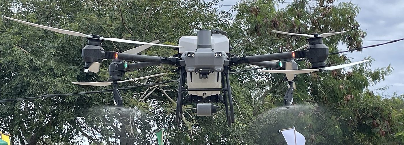
One drone fleet for both eyes and hands: multispectral survey missions that feed OrbitalEye, and RTK-guided precision spraying planned by SprayCast.
- Multispectral & RGB survey missions with auto-processed NDVI orthomosaics
- Precision spraying with centimetre-level RTK guidance and variable rate
- Missions planned from the farm's own risk maps — spray only where needed
- Flight logs, coverage maps and tank records kept for compliance
- Fleet, battery and pilot management through the DroneOps module
Key specifications
Survey coverageup to 300 ha / day
Spray tank10–50 L class airframes
PositioningRTK, ±2.5 cm
Data link4G / SatLink upload
ModulesDroneOps · OrbitalEye · SprayCast